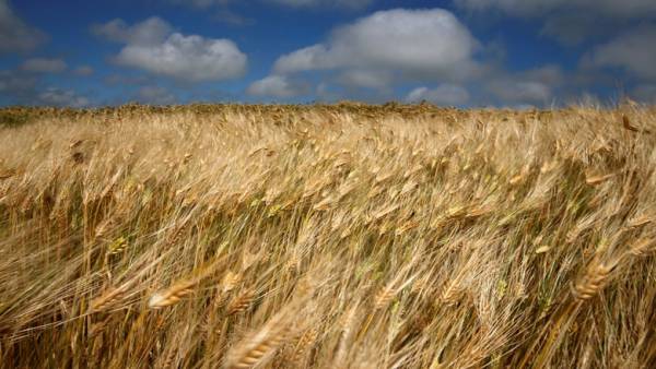
European satellites was considered Russian soil In our country abandoned millions of hectares more arable land than previously thought. An international group of scientists, which included Russian researchers used data from satellite images from the European space Agency to figure out how much in fact the land was abandoned farmland in our country after the collapse of the USSR. It turned out that this figure is a quarter higher than the official estimates. The authors have also created a map showing where it was abandoned most of the arable land. The corresponding article was published in the Scientific Data. After the fall of the USSR, earth on its former territory quickly began to decline. However, how this process was widespread — so far largely remained unclear. The fact that the statistics take into account as abandoned land, only those whose former owners (collective farms and replaced them “joint stock companies”)